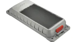
Konexial Geo-Operations gives fleets real-time asset visibility and alerts
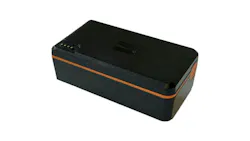
Using the Konexial Geo-Operations platform, fleet managers get a "live" map that shows exactly where their assets are at any given second—no more guessing or making "where are you?" phone calls.
Features:
- Automated geofencing alerts trigger when a vehicle enters or exits a job site.
- Accurate arrival times are provided.
- Integrating cameras, sensors, and GPS data into one dashboard helps reduce busywork.
- Konexial ONE provides granular data to optimize asset utilization and maintain supply chain transparency.